
Country Profile
Uganda is a Sub-Saharan African country with one of the highest rates of poverty reduction. Uganda remains among the poorest in the world. Uganda lacks important non-monetary resources such as sufficient sanitation, access to electricity, health and well-being, education, and nutrition. Families in Uganda are often large, lacking often finances and resources, larger families are highly likely to fall below the poverty line. Poor health also reduces a family’s work productivity, causing poverty to be passed down through generations. This culture creates a “live for today” mentality that is very difficult to overcome.
Uganda has one of the youngest and most rapidly growing populations in the world, with 48% of the population under the age of 15. The country receives influxes of refugees fleeing socio-political and military conflicts in its bordering neighbors of Congo and South Sudan. The country’s north and northeast regions lag developmentally behind the rest of the country as a result of the long-term conflict of more than 20 years of fighting between the Lord’s Resistance Army (LRA) and Ugandan government forces. This ongoing inter-communal violence, combined with periodic natural disasters and unregulated environmental hazards contributes to further poverty and susceptibility to conflict, disease, and decreased agricultural outputs.
The poverty headcount ratio is $5.50 per day, this is the average daily salary per family.
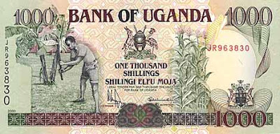
So, 100,000 shillings is about $28.80
Uganda’s poverty rate for 2016 was 87.60%, a 0.6% increase from 2012.
Uganda’s poverty rate for 2012 was 87.00%, a 2.3% decline from 2009.
Uganda’s poverty rate for 2009 was 89.30%, a 3.3% decline from 2005.
Uganda’s poverty rate for 2005 was 92.60%, a 1.8% decline from 2002.
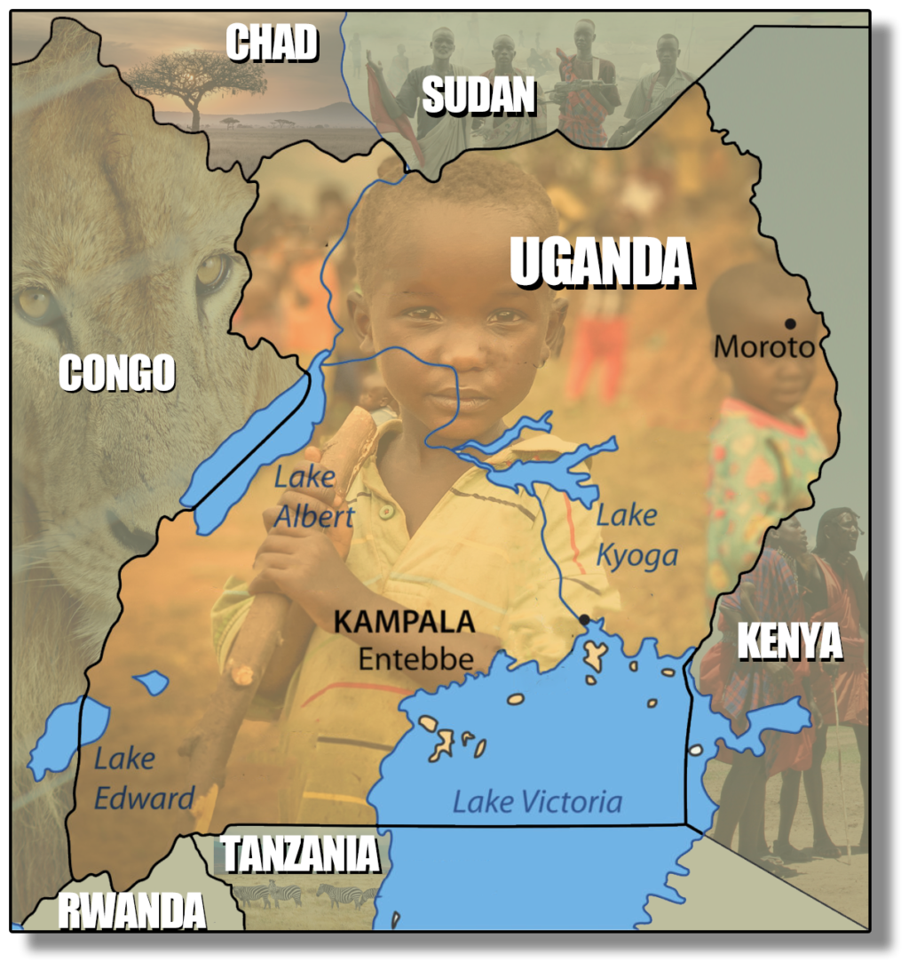
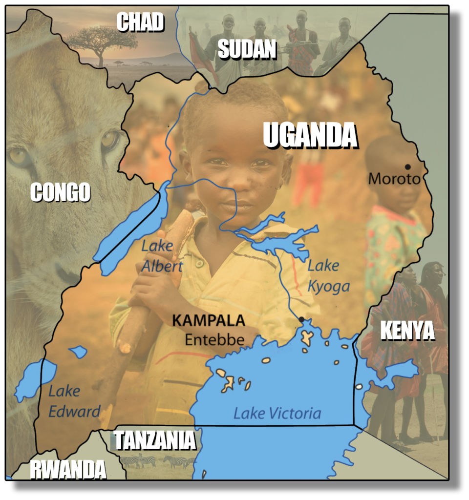
Map of Uganda
(JFM Serves mostly in the area of Uganda’s largest city, Kampala)
| Ugandan Fact Sheet | |
|---|---|
| Capital City | Kampala (0.3476° N, 32.5825° E) |
| Largest City | Kampala (0.3476° N, 32.5825° E) |
| Area | total: 241,038 sq km land: 197,100 sq km water: 43,938 sq km |
| Population | 43,252,966 (July 2020 est.) |
| Literacy | 76.5% |
| Suffrage | 18 years of age; universal |
| Official Language | English, Swahili |
| Demonym | Ugandan |
| Continent | Africa |
| Borders | Kenya, South Sudan, the Democratic Republic of the Congo, Rwanda, and Tanzania |
| Currency | Ugandan shilling (UGX) |
| Religion | Protestant 45.1% (Anglican 32.0%, Pentecostal/Born Again/Evangelical 11.1%, Seventh Day Adventist 1.7%, Baptist .3%), Roman Catholic 39.3%, Muslim 13.7%, other 1.6%, none 0.2% (2014 est.) |
| Life expectancy | 68.2 years (2020) Life expectancy at birth indicates the number of years a newborn infant would live if prevailing patterns of mortality at the time of its birth were to stay the same throughout its life. |
| Climate | tropical; generally rainy with two dry seasons (December to February, June to August); semiarid in northeast |
| Terrain | mostly plateau with rim of mountains |
| Lowest point | Albert Nile 614 m |
| Highest point | Margherita Peak on Mount Stanley 5,110 m |
| Natural resources | copper, cobalt, hydropower, limestone, salt, arable land, gold |
| Agricultural land | 71.2% |
| Government type | presidential republic |
| President | Yoweri Museveni |
| Vice President | Edward Kiwanuka Ssekandi |
| Birth rate | 42.3 births/1,000 population (2020 est.) |
| Death rate | 5.3 deaths/1,000 population (2020 est.) |
| Sex ratio | 0.94 male(s)/female (2020 est.) |
| National symbol | grey crowned crane |
| National colors | black, yellow, red |
| National anthem | “Oh Uganda, Land of Beauty!” |
| Industries | sugar, brewing, tobacco, cotton textiles; cement, steel production |
| Exports | $3.339 billion (2017 est.) coffee, fish and fish products, tea, cotton, flowers, horticultural products; gold |
| Imports | $5.036 billion (2017 est.) capital equipment, vehicles, petroleum, medical supplies; cereals |
| GDP – per capita (PPP) | $2,400 (2017 est.) |
| Time Zone | EAT (UTC+3) |
| Internet country code | .ug |
| Calling Code | +256 |
| Drives on the | Left |